Growing regions
Five distinct agricultural territories. One informed partner.
National statistics hide the decisions that matter. Crop selection, land strategy and facility siting are territory-level choices, and each of Cambodia's five agricultural territories has its own geography, soils, infrastructure and regulatory considerations.
Use the selector below to move between territories; it stays with you as you read.
01 / 05
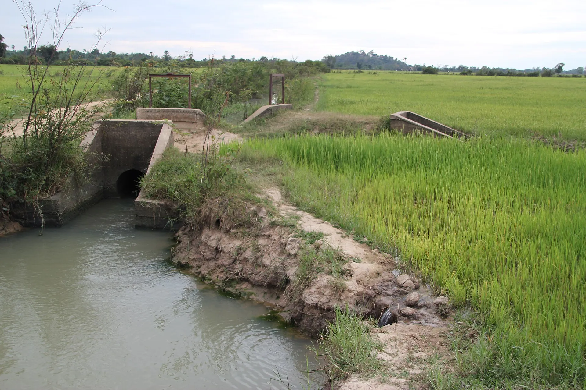
Tonle Sap Lowland Rice Belt
Battambang · Siem Reap · Pursat · Kampong Thom
The provinces surrounding Tonle Sap Lake form one of Cambodia’s two major rice regions. Predominantly rain-fed with limited irrigation. Average temperature at Battambang is 28.0C, peaking at 36.1C in April.
Soils
Clay loam at Battambang, sandy loam at Siem Reap, black self-mulching clays and red friable clay-loams in the northwest uplands.
Key crops
Aromatic rice varieties concentrated in the basin, cassava, maize and other cereals.
Aromatic rice from this belt anchors Cambodia’s premium rice exports. A proposed 1,000-hectare agro-food SEZ near the new Siem Reap airport signals the direction of investment.
02 / 05
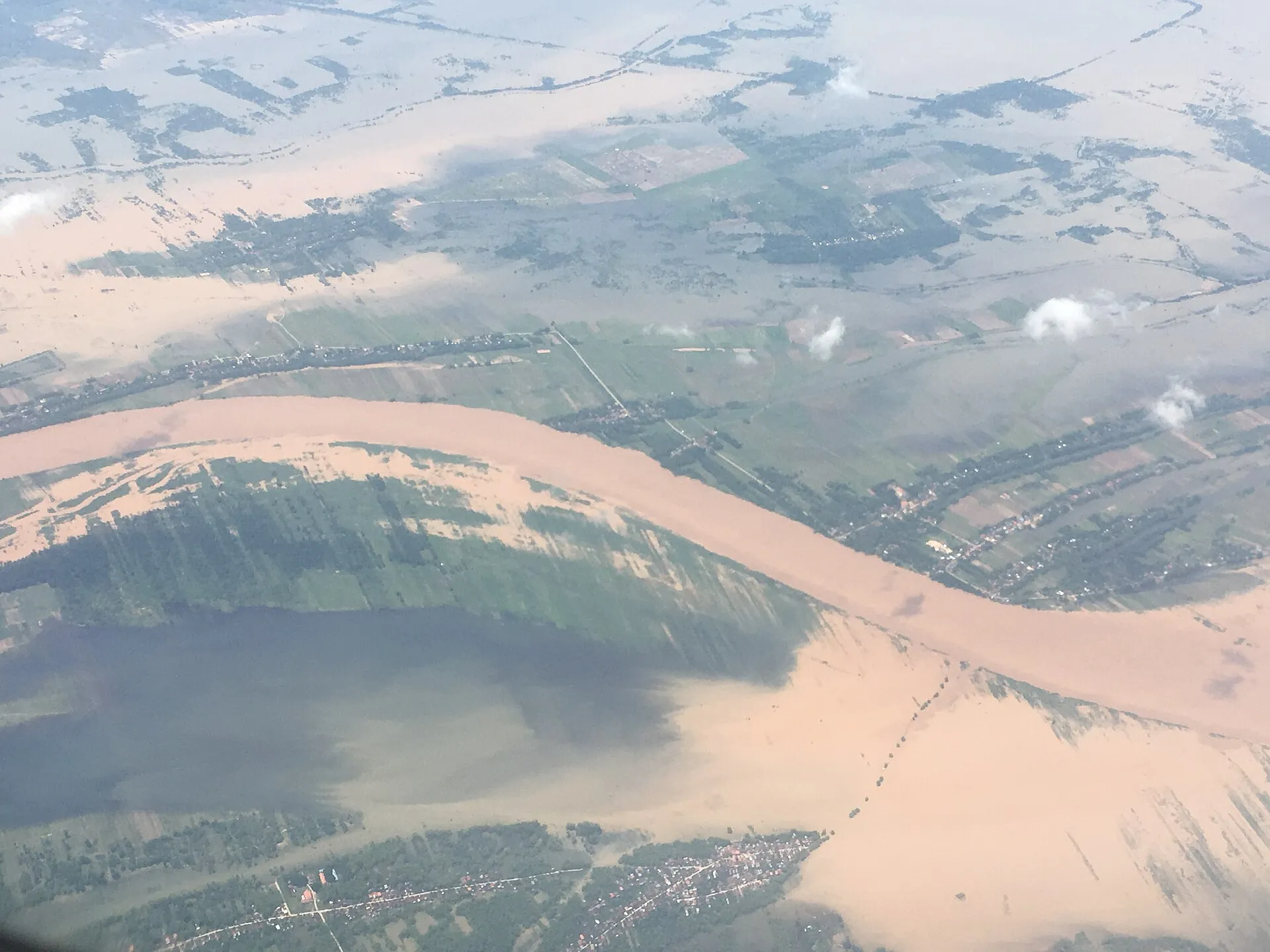
Mekong Lowland Plains
Prey Veng · Takeo · Kampong Cham · Kampong Speu
The principal rice plains surrounding the Mekong. Prey Veng, Takeo and Kampong Cham are among the highest-output rice provinces, together accounting for roughly half the national harvested rice area.
Soils
Alluvial lowland soils supporting intensive dual-season cropping where irrigation allows.
Key crops
Wet and dry season rice, cassava, rubber and vegetables. Over 40 percent of Kampong Cham farmers plant both seasons.
Proximity to Phnom Penh and the Vietnamese border makes these plains the natural base for processing-oriented operations feeding river port and road export routes.
03 / 05
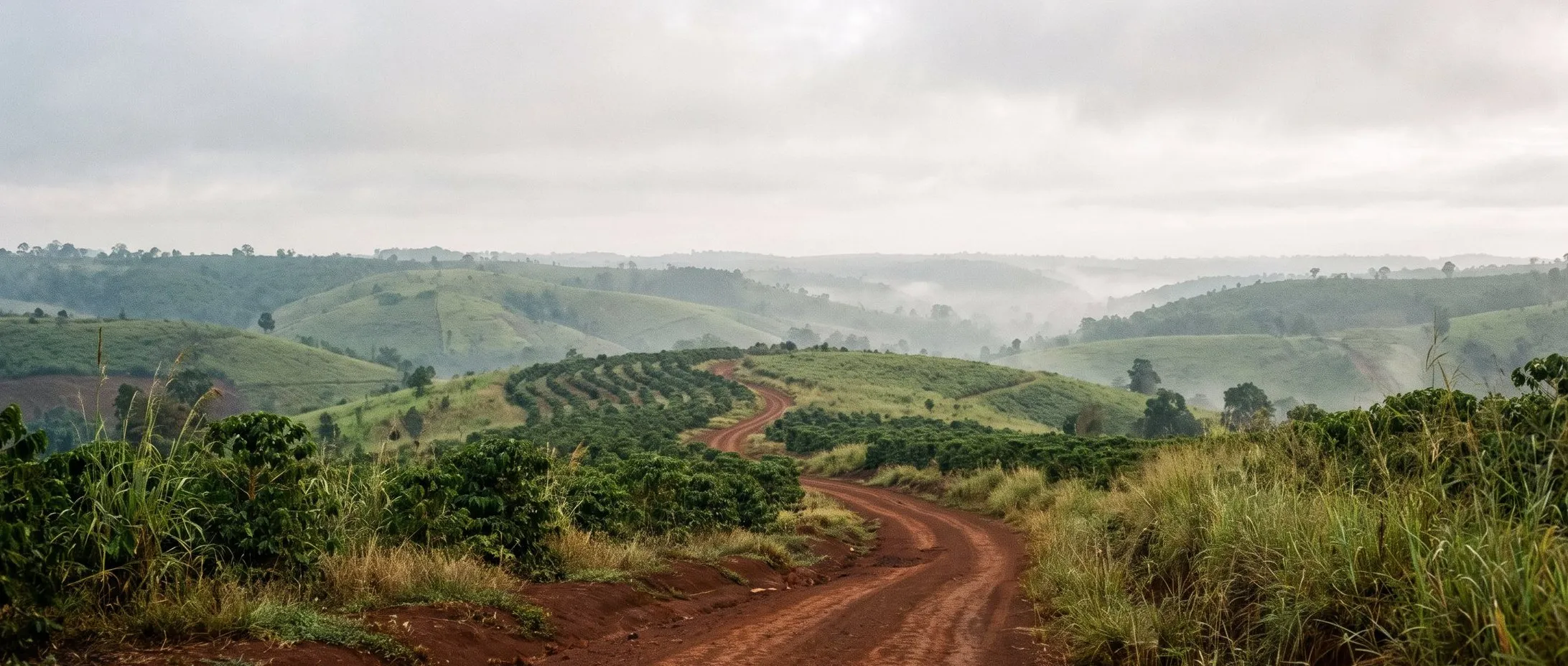
Northeastern Highlands
Mondulkiri · Ratanakiri
Highland plateaus around 800 metres elevation with cool weather, Cambodia’s most mountainous region. Fertile red volcanic soils.
Soils
Red volcanic soils favourable to perennial cash crops.
Key crops
Arabica and Robusta coffee, pepper, rubber, cashew, and emerging strawberry cultivation.
Earlier in commercial development than the lowlands: land relationships and indigenous farming practices require careful, informed navigation, and reward it with conditions no lowland site can match.
04 / 05
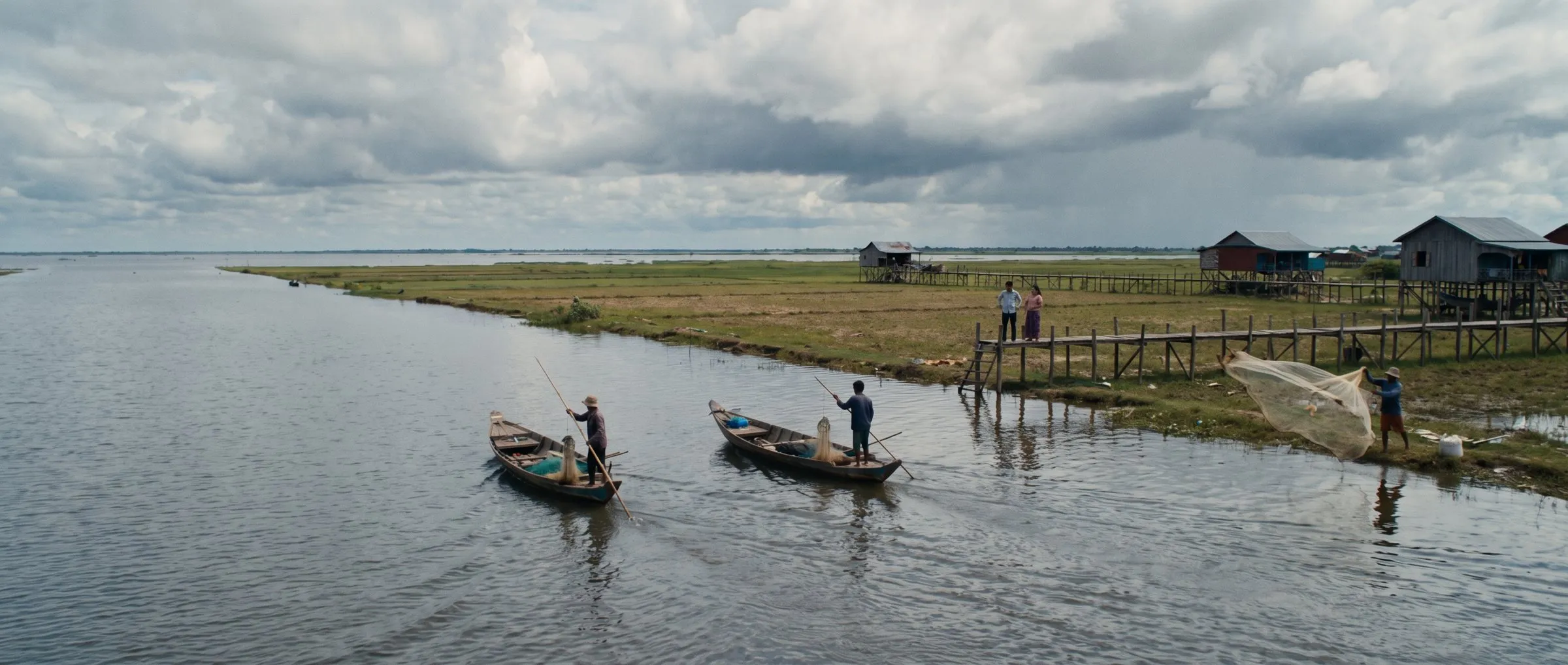
Tonle Sap Floodplain
Seasonal flood-pulse zone around the lake
The lake expands to several times its dry-season size each year. Flood-recession agriculture, aquaculture and fishery systems interlock across the floodplain.
Soils
Seasonally inundated soils farmed on the flood recession.
Key crops
Rice-based cropping, mixed cash crops, natural pond culture and aquaculture, cattle and livestock.
Conservation zoning is strict: farming is banned in Zone 3 closest to the lake, with enforcement active since 2021. Compliant siting is a regulatory requirement and an environmental credential.
05 / 05
Coastal Zone
Kampot · Kep · Koh Kong · Preah Sihanouk
Four coastal provinces of mangroves, bays and lowland plains with direct access to the deep-sea port.
Soils
Coastal lowland soils with microclimates suited to premium specialty crops.
Key crops
Kampot pepper, salt, fish sauce, aquaculture and seafood.
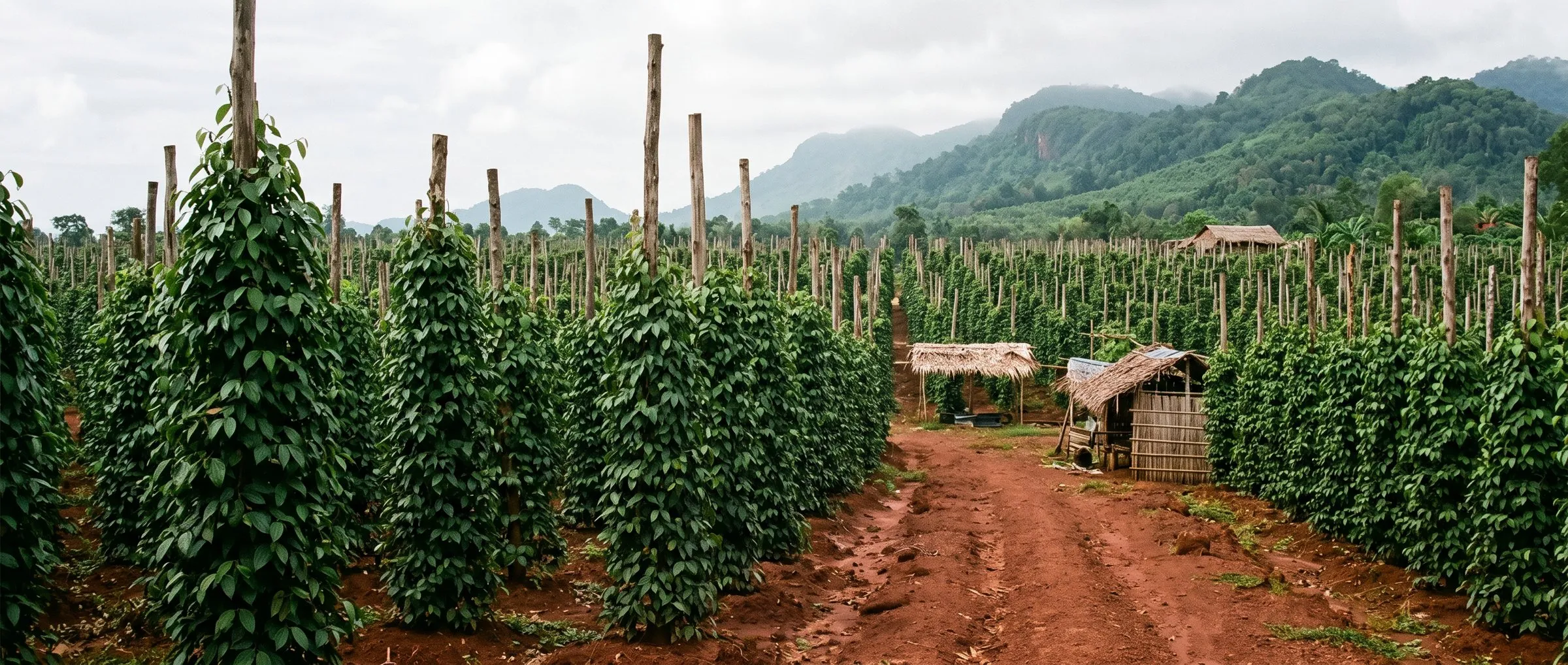
Home of Kampot pepper, Cambodia’s first geographical indication (2010), an EU PGI since 2016, protected in more than 30 countries, with premium grades fetching up to ten times the price of non-GI pepper.
Method
Territory first, then structure
Whitewater's entry assessments begin with territory selection: matching crop, facility and logistics requirements to the region whose soil, climate, land availability and infrastructure actually support them. Structure, registration and incentives follow the territory decision, not the other way around.
Territory data: FAO soil surveys; MAFF; USDA FAS; provincial reporting. Detailed territory guides are prepared per engagement.
Discuss your Cambodia entry strategy
Initial consultations are exploratory: an assessment of your objectives against Cambodian operating conditions, not a sales conversation.